Norway is a country located in Northern Europe in the northern and western parts of the Scandinavian Peninsula. The majority of the country borders water; the North Sea to the southwest, the North Atlantic Ocean to the west, and the Barents Sea to the north. It has a land border with Sweden a shorter border with Finland and an even shorter border with Russia.
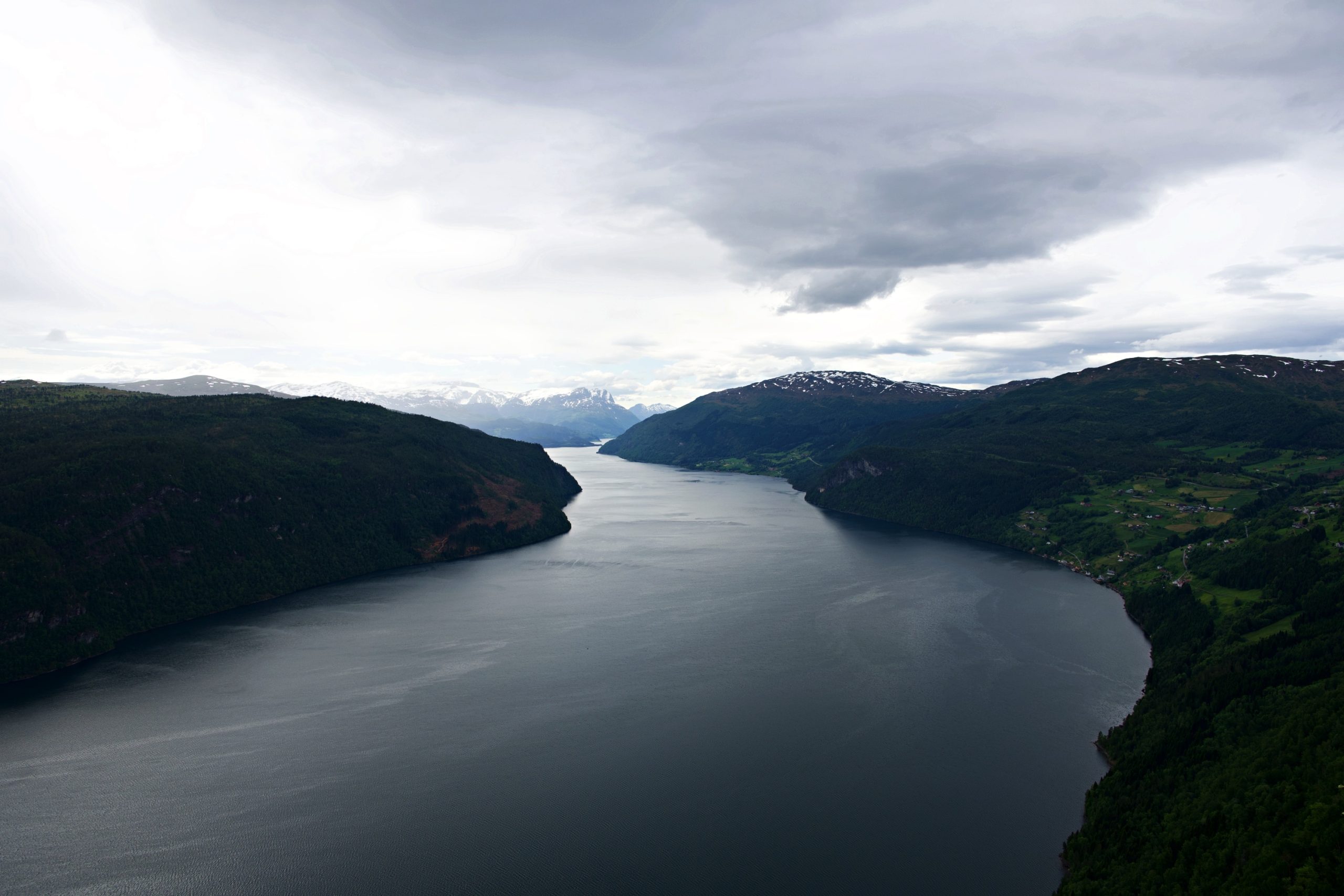
Norway has an elongated shape, one of the longest and most rugged coastlines in the world. During the last glacial period virtually the entire country was covered with a thick ice sheet. The movement of the ice carved out deep valleys. As a result of the ice carving, Sognefjorden is the world’s second deepest fjord and Hornindalsvatnet is the deepest lake in Europe. When the ice melted, the sea filled many of these valleys, creating Norway’s famous fjords.
Below is a selection of photos of Norway’s rugged landscape taken during a tour through Norway from May 22 till May 29 2024. Click on a small photo for a larger view, then select the next one with the cursor keys or the arrows on either side of the photo.


