Hadrian’s Wall is a former defensive fortification of the Roman province of Britannia, begun in AD 122 in the reign of the Emperor Hadrian. Running from Wallsend on the River Tyne in the east to Bowness-on-Solway in the west of what is now northern England, it was a stone wall with large ditches in front of it and behind it that crossed the whole width of the island. Soldiers were garrisoned along the line of the wall in large forts, smaller milecastles, and intervening turrets.
The length of the wall was 80 Roman miles (a unit of length equivalent to about 1,620 yards or 1,480 metres), or 117 kilometres. It took six years to build most of Hadrian’s Wall with the work coming from three Roman legions – the Legio II Augusta, Legio VI Victrix, and Legio XX Valeria Victrix.
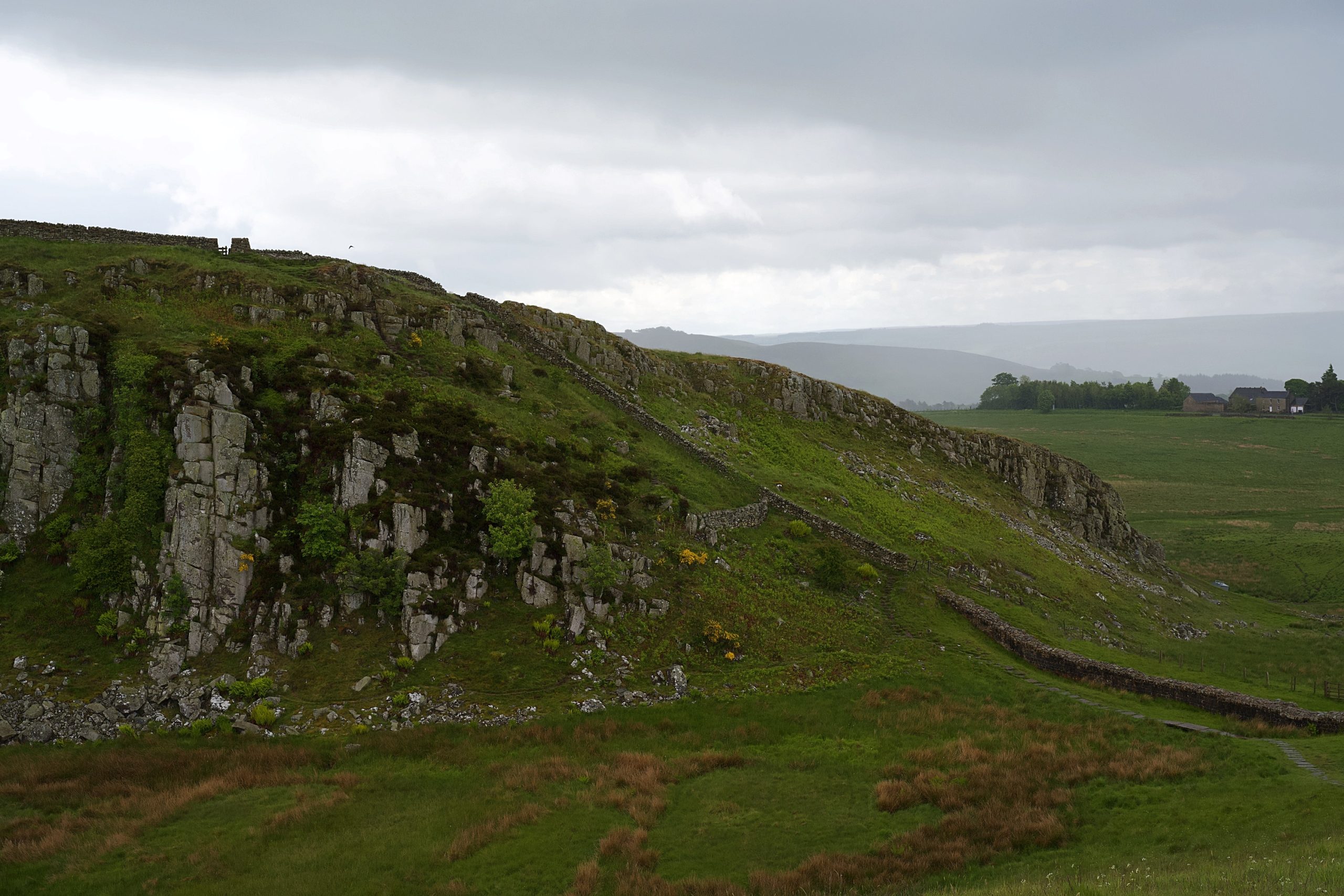
Much of the wall has now disappeared. Long sections of it were used for roadbuilding in the 18th century, especially by General Wade to build a military road to move troops to crush the Jacobite rising of 1745. The preservation of much of what remains can be credited to the antiquarian John Clayton.
Below is a selection of photos taken during a visit to a part of the Hadrian’s Wall on June 8, 2022. Click on a small photo for a larger view, then select the next one with the cursor keys or the arrows on either side of the photo.


